Discover and Navigate Outdoor Adventures with a Garmin Handheld GPS
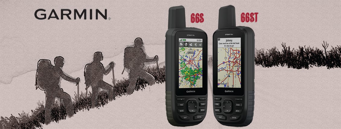
Answering the call of the wild becomes easier every year. Technology continues to improve navigation for camping, hiking, cycling, and all manner of outdoor activities. Garmin has been at the forefront of outdoor tech for years, and its latest navigational innovations are no exception. The GPSMAP 66 series is the latest release in their GPSMAP line of handheld navigation. It pushes the boundaries of what handheld GPS devices are capable of.
So let’s look at the benefits this new lineup has to offer.
New Adventures
Each handheld in the GPSMAP 66s series features a 3 in. color display along with access to BirdsEye Satellite Imagery. Direct-to-device downloads help users find their way, and the 66st features preloaded TOPO U.S. and Canada maps. Each offers multi-GNSS support as well as wireless connectivity for Active Weather, direct downloads and Garmin Explore compatibility.
The ABCs of Exploration
In addition to multi-GNSS support, the GPSMAP 66 series provides ABC (altimeter, barometer and compass) sensor capabilities to track adventures. Firstly, the built-in altimeter provides elevation data to accurately monitor ascent and descent. Secondly, the barometer is useful by predicting weather changes by showing short-term trends in air pressure. The three-axis electronic compass keeps its bearings whether it’s moving or not.
The Road Ahead
Users can see their location with high-resolution photo-realistic views of their route thanks to direct-to-device downloads of BirdsEye Satellite Imagery—without an annual subscription. They’ll see a true representation of their surroundings to find trails, trailheads and clearings for campsites, to pick stand locations for hunting, to find parks and parking for geocaching and even to create waypoints based on landmarks. Plus, GPSMAP 66st Multisatellite Handheld with Sensors and TOPO Maps comes preloaded with TOPO U.S. and Canada maps. Users will see every hill and valley, with more detail than ever—including terrain contours, topographic elevations, summits, parks, coastlines, rivers, lakes and geographical points.
Severe Weather Prepared
Users can always stay informed of weather conditions when they pair their GPSMAP 66 series device via Bluetooth to a compatible smartphone. They’ll receive Active Weather updates for real-time forecast information, including predictive maps for temperature, wind, precipitation and clouds. It also provides live weather radar so they’re aware of inclement weather that can affect outdoor adventures.
Caching In
GPSMAP 66s and GPSMAP 66st devices make it easier than ever to enjoy the geocaching experience. Users can set it to automatically update with all the latest caches from Geocaching Live, including cache descriptions, logs and hints. With a Wi-Fi connection or through Garmin Connect on a compatible smartphone, they’ll avoid manually entering coordinates or printing out cache details on paper—and each find will automatically upload to their Geocaching.com profile.
Rugged, Rough and Tough
The GPSMAP 66 series offers up to 16 hours of battery life in GPS mode and 1 week in expedition mode with 2 AA batteries. Each provides an LED flashlight and beacon that can be used to signal for help. It’s built to military standards for thermal, shock and water performance (MIL-STD-810G[), and it’s even compatible with night vision goggles.
Explore More
Both the GPSMAP 66s Multisatellite Handheld with Sensors and the GPSMAP 66st Multisatellite Handheld with Sensors and TOPO Maps are built so that outdoor adventurers can explore more, no matter activity.
To see Petra’s full lineup of Garmin handheld GPS and other products, make sure to visit order.petra.com
